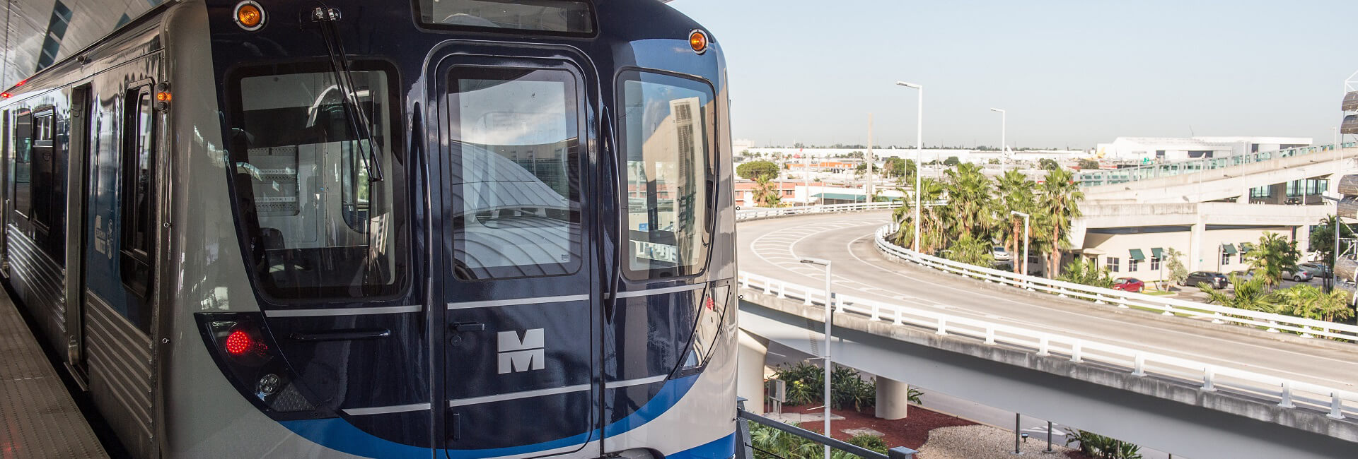
The Strategic Miami Area Rapid Transit (SMART) Plan
The Strategic Miami Area Rapid Transit (SMART) Plan intends to advance six of the PTP’s rapid transit corridors, along with a network system of Bus Express Rapid Transit (BERT) service, in order to implement mass transit projects in Miami-Dade County.
The SMART Plan was officially adopted and endorsed in 2016 by the Miami-Dade Transportation Planning Organization (TPO) Governing Board. It brings together Miami-Dade County’s Department of Transportation and Public Works (DTPW), Transportation Planning Organization (TPO; formally MPO), Florida Department of Transportation (FDOT), and the Citizen’s Independent Transportation Trust (CITT).
The strategy involves expanding public transit into six rapid transit corridors and supported by a bus express rapid transit network.
Fully implemented SMART Plan Corridors will help commuters save time when compared to existing transit service or driving.
Total population and employment within a 2-mile radius of all six corridors:
- 63% of the County’s population (1.7 million residents) live within 2-mile radius of the corridors.
- 855,000 employees (or 75% of the workforce) work within a 2-mile radius of the corridors.
Positive impacts from the SMART Plan are anticipated in the following main areas of the transit system:
- New opportunities for Transit Oriented Developments (TOD’s) along SMART Plan corridors (more housing, retail and office developments that are near transit stations).
- An expanded and interconnected network of premium transit services that connect to more key destinations.
- Improved reliability and on-time performance as the existing transit network is optimized to better feed the SMART Plan transit corridors.
- More job opportunities in the transportation industry as new transit corridors are planned, designed, constructed, and implemented.
- Real-time arrival and departure information signage at transit stations.
- New transit stations/terminals and park-and-ride facilities to support new SMART Plan corridors.
To ensure the community is included in the planning and visioning process to select the best technology and highest, best land uses along each corridor there are two separate major activities occurring for each SMART Plan corridor as follows:
Project Environmental Studies aka PD&Es – Headed by the Miami-Dade Department of Transportation & Public Works (DTPW) and the Florida Department of Transportation (FDOT) District Six.
Land Use & Visioning – Headed by the Miami-Dade TPO
SMART Plan Rapid Transit Corridors
Beach Corridor |
Midtown Miami |
Miami Beach |
PD&E by DTPW Land Use & Visioning by TPO |
East-West Corridor |
Miami Intermodal Center |
Florida International University |
PD&E by DTPW Land Use & Visioning by TPO |
Kendall Corridor |
Dadeland area |
Krome Avenue |
PD&E by FDOT District 6 |
North Corridor |
Martin L. King, Jr. |
NW 215th Street |
PD&E by FDOT District 6 |
Northeast Corridor |
Downtown Miami |
City of Aventura |
PD&E by FDOT District 6 & 4 |
South Dade TransitWay |
Dadeland South |
SW 344th Street |
PD&E by DTPW Land Use & Visioning by TPO |
Bus Express Rapid Transit (BERT)
BERTS DESCRIPTION
Beach Express |
North – Miami Beach Convention Center to Golden Glades via I-95 South – Miami Beach Convention Center to Downtown Miami via MacArthur Causeway |
Flagler Corridor (PD&E) |
Downtown Miami to West Dade via Flagler Street |
Florida’s Turnpike Express |
North – Dolphin Station to North Miami-Dade via the HEFT South – Dolphin Station to SW 344th Street via the HEFT |
Northwest Miami-Dade Express |
Palmetto Metrorail Station to Miami Gardens Drive Park-n-Ride via Palmetto Expressway and I-75 |
South Miami-Dade Express |
Dadeland North Metrorail Station to southern Miami-Dade County via SR-878, SR-874, and Florida’s Turnpike |
Southwest Miami-Dade Express |
Dadeland North Metrorail Station to Miami Executive Airport via SR-878 and SR-874 |

Transportation & Public Works
Alice N. Bravo, P.E.
Overtown Transit Village North
701 NW 1st Court,
Suite 1700
Miami, FL 33136
786-469-5675